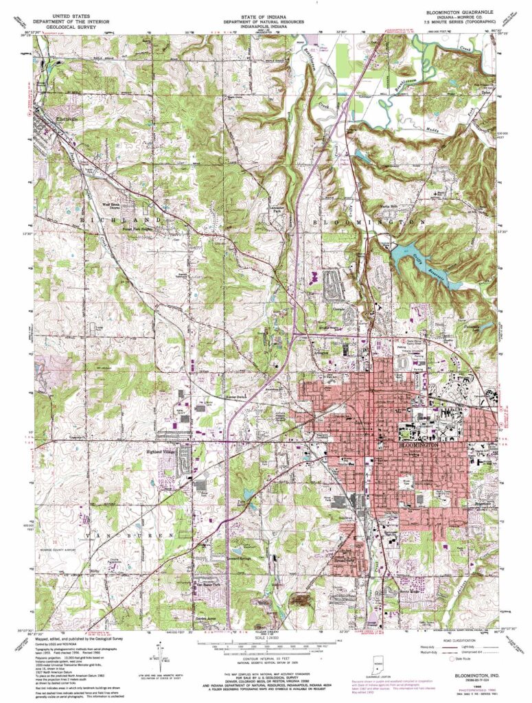
Whether it is mapping to support a lease take off, parcel mapping, mapping of well sites, drilling units, or geological or geophysical data; mapping is an invaluable tool for processing and delivering land data to our clients. Our GIS specialists work with the latest technology to provide the best digital data and information available. The GIS department at CLT possesses a vast array of digital data throughout the United States, such as state and federal land ownership, well locations, parcel boundaries, pipeline routes, and more. Using this data, CLT has the ability to create customized maps and presentations specific to our clients needs, allowing a more thorough understanding of your prospective area of interest.
Our GIS services include:
- Accurate map proposed & as-built infrastructure
- Cartographical research and compilation
- Customized products (maps, shapefiles, layer files, excel files)
- ESRI ArcGIS 10.x Software
- Geodatabase design and development
- Land use planning for project development
- Lease and ownership mapping
- Maps for analysis and display
- Web map applications
- KML import and creation


