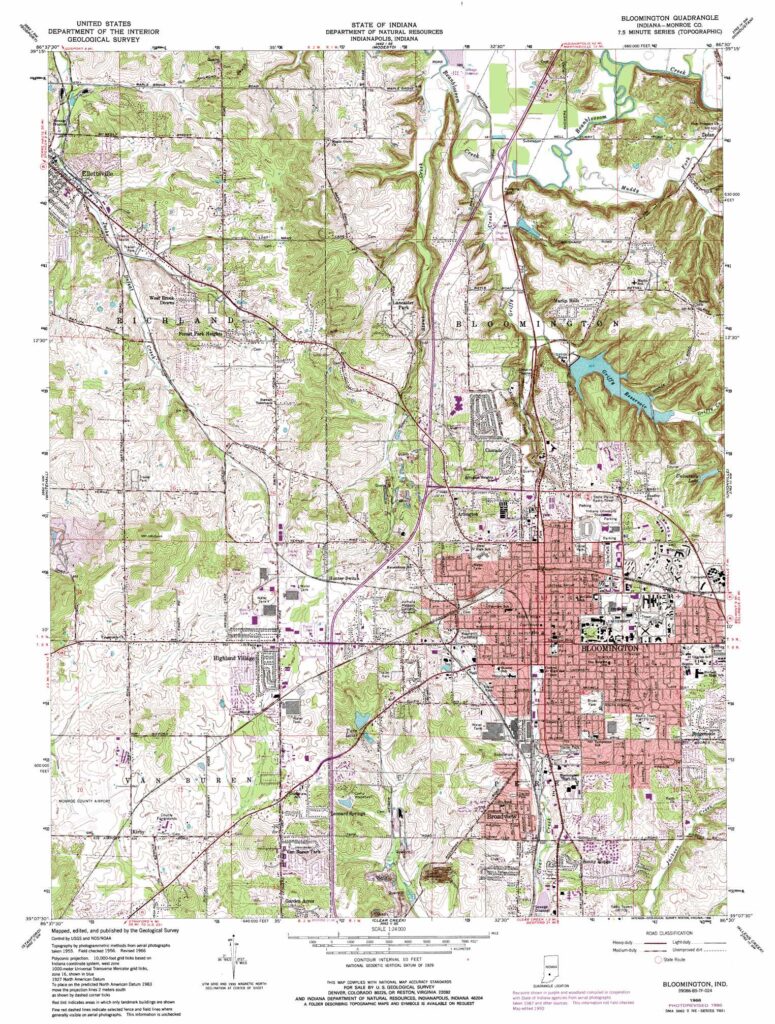
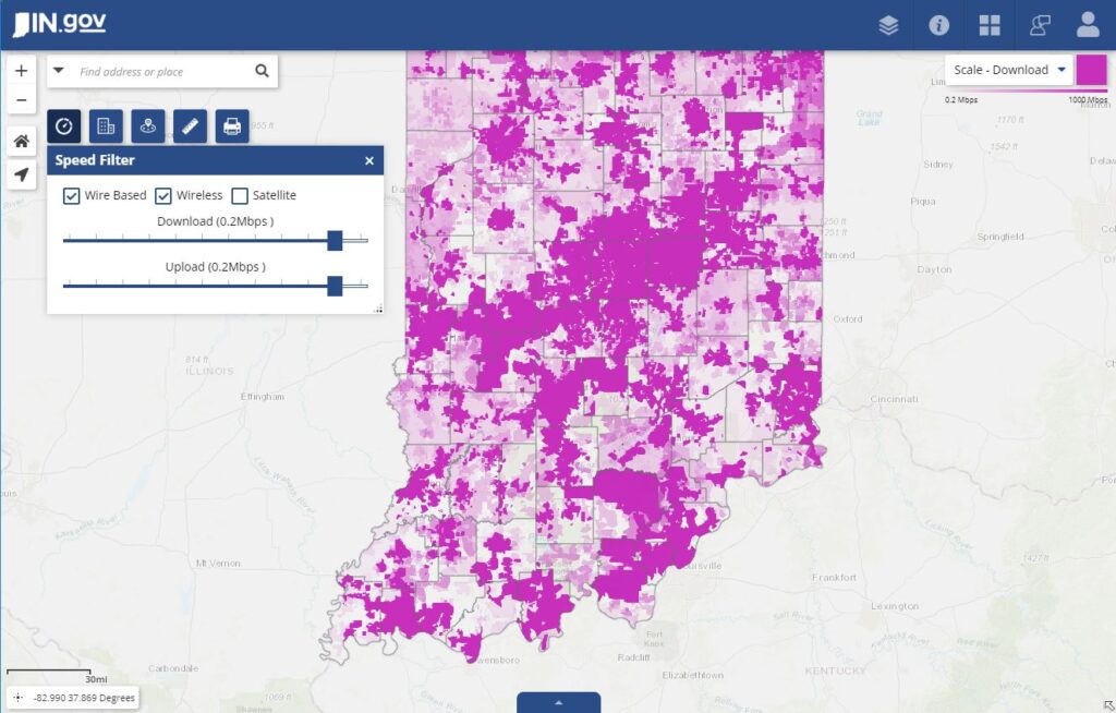
Our database service is fundamental to all aspects or our land work. Your information is valuable, but we also understand that the more data you gather, the harder it is to make that data “work” for you. Our system simplifies the process, and makes your data accessible across multiple platforms, and to multiple queries. We make reporting on and visualizing your data something that is useful instead of inefficient.
So what does this mean? We have a proprietary software that stores your data and makes it accessible to powerful ArcGIS systems so that you can visualize and query your data for reports and maps. We have the capability to provide you services that match your needs– whether it is a county specific acquisition or right-of-way project, or a multi-state exploratory endeavor. We can make your data accessible in a way that is useful for you– whether on a web or cloud platform, or through weekly pdf updates. We are here to tame your data, and make it work for you, instead of against you.
Our team of title professionals also has access to this database, and are constantly updating it with project information as they research at the courthouse so they can produce reports efficiently and accurately. Through cloud technology, they are able to type information (whether or not there is wifi) that is later uploaded to our system when they have internet access for review and processing. This system allows our reports to be stream-lined from the source to you.


